 Historic Marker
Marker · Memory
What Have We Learned?
Inscription
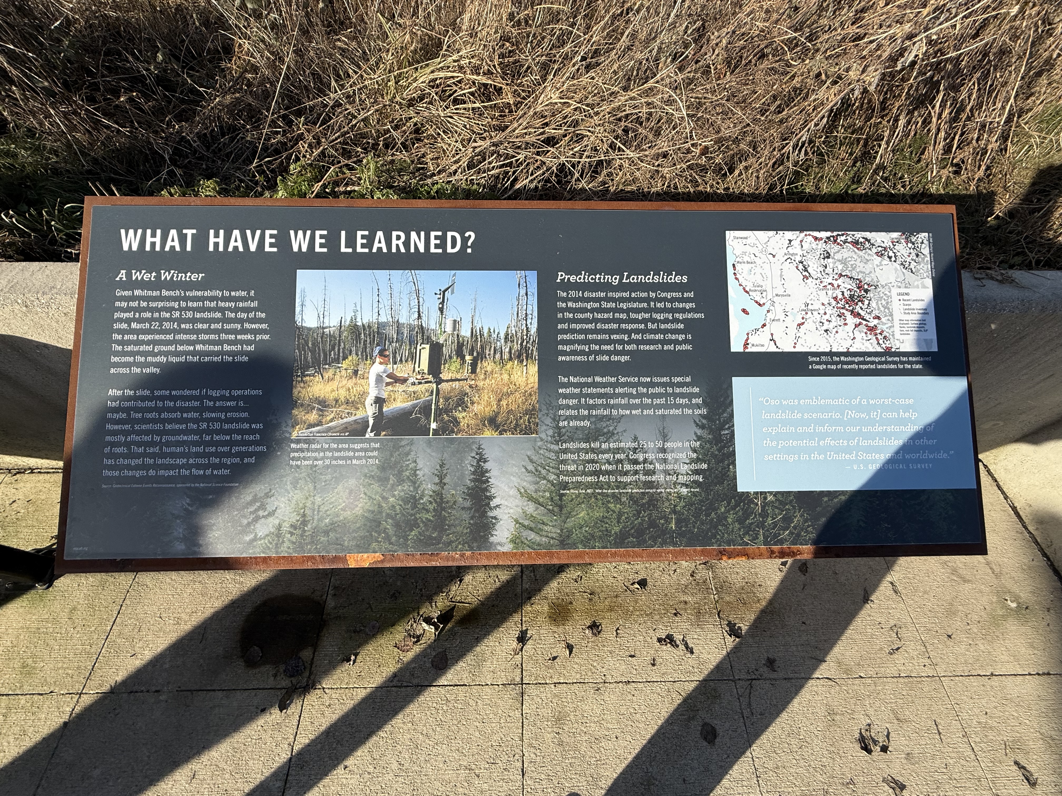
WHAT HAVE WE LEARNED? A Wet Winter Given Whitman Bench's vulnerability to water, it may not be surprising to learn that heavy rainfall played a role in the SR 530 landslide. The day of the slide, March 22, 2014, was clear and sunny. However, the area experienced intense storms three weeks prior. The saturated ground below Whitman Bench had become the muddy liquid that carried the slide across the valley. After the slide, some wondered if logging operations had contributed to the disaster. The answer is... maybe. Tree roots absorb water, slowing erosion. However, scientists believe the SR 530 landslide was mostly affected by groundwater, far below the reach of roots. That said, human's land use over generations has changed the landscape across the region, and those changes do impact the flow of water. Source: Geotechnical Extreme Events Reconnaissance, sponsored by the National Science Foundation [Photo: a person in a white T-shirt and bandana adjusts a pole-mounted weather station in a burned forest of standing dead trees and dry grass] [Photo credit printed in the photograph's lower left corner:] [UNVERIFIABLE: initial letter - clipped highlight]ea Suzuki/San Francisco Chronicle via AP Weather radar for the area suggests that precipitation in the landslide area could have been over 30 inches in March 2014. Predicting Landslides The 2014 disaster inspired action by Congress and the Washington State Legislature. It led to changes in the county hazard map, tougher logging regulations and improved disaster response. But landslide prediction remains vexing. And climate change is magnifying the need for both research and public awareness of slide danger. The National Weather Service now issues special weather statements alerting the public to landslide danger. It factors rainfall over the past 15 days, and relates the rainfall to how wet and saturated the soils are already. Landslides kill an estimated 25 to 50 people in the United States every year. Congress recognized the threat in 2020 when it passed the National Landslide Preparedness Act to support research and mapping. Source: Titone, Julie, 2022. "After Oso disaster, landslide prediction remains vexing, necessary." Everett Herald. [Map: landslide-inventory map, red dots and black lines dense in the hills east of I-5, over a pale base map] [Place names printed on the map:] Stanwood Warm Beach Tulalip Reservation Marysville Everett Mukilteo Arlington Lake Stevens Granite Falls Darrington I-5 [Legend box, lower right of the map:] LEGEND Recent Landslides Scarps Landslide Inventory Study Area Boundary [UNVERIFIABLE: below-resolution — five-line note printed under the map legend] [Map credit, rotated 90° clockwise along the map's right edge:] WA DNR Geologic Hazard Maps Online Since 2015, the Washington Geological Survey has maintained a Google map of recently reported landslides for the state. "Oso was emblematic of a worst-case landslide scenario. [Now, it] can help explain and inform our understanding of the potential effects of landslides in other settings in the United States and worldwide." — U.S. GEOLOGICAL SURVEY [UNVERIFIABLE: below-resolution — small mark in the panel's lower-left corner]
Awaiting verification
Record
- Marker type
- Sign
- Location
- SR 530 Slide Memorial — Snohomish County, Washington
- Added to the archive
- January 25, 2026
Interpretive panel examining the lessons learned from the SR 530 landslide, including the role of a wet winter in triggering the disaster and advances in predicting landslides.
Condition over time